ArcherFRS

Archer’s artificial intelligence-based satellite analysis platform identifies optimal waypoint coordinates for a wide range of mission types.
Archer Survey aggregates a wealth of up-to-date satellite imagery and GIS data to automatically pinpoint unobstructed coordinates for delivery, landing, or other mission-critical actions. Constantly updating, this data evolves with changes to the landscape
—great for post-disaster response.
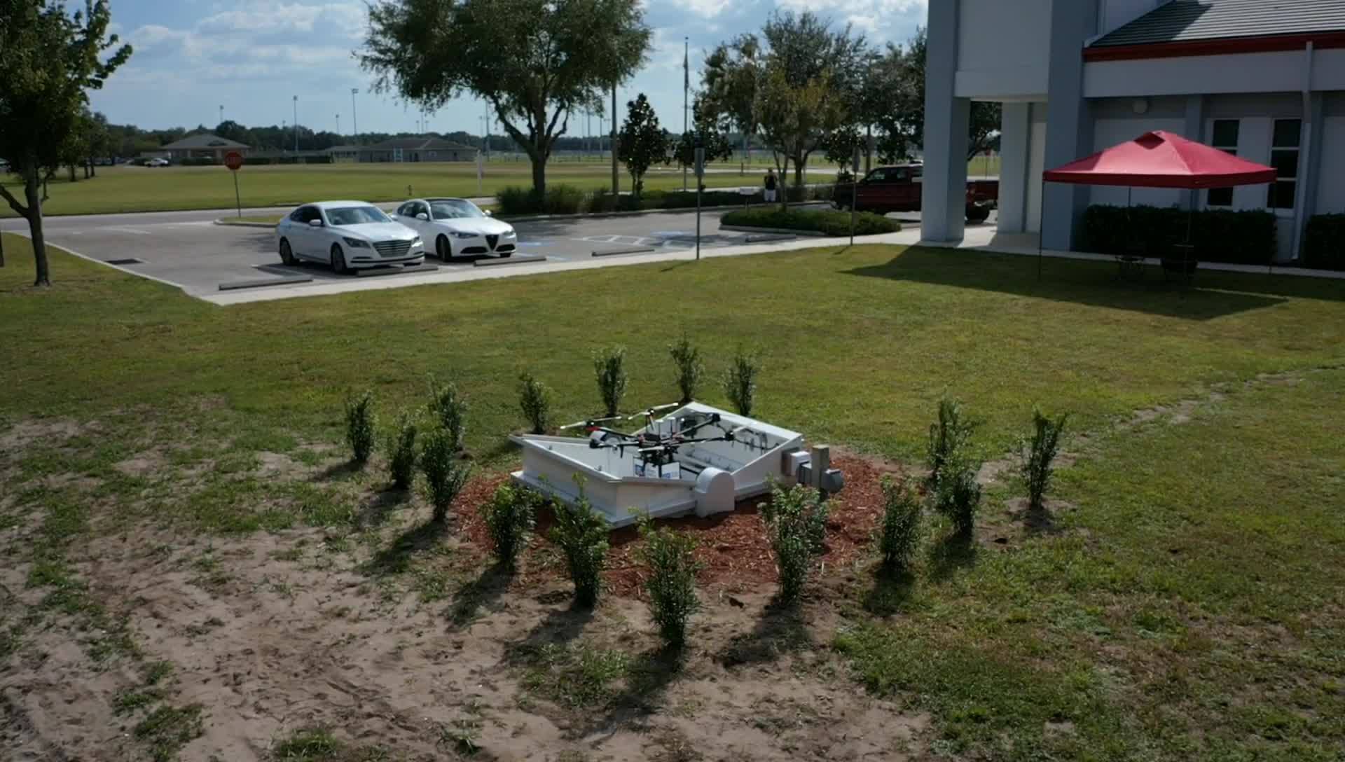
UNMANNED AIR SYSTEM DEPLOYMENT & SERVICES
Finding suitable drop coordinates for medical supplies that avoided all potential obstacles including water, vegetation and buildings. Providing on demand and automatically scalable coordinates with secure cloud-based infrastructure for constant terrain monitoring.
Multi-layered Computer Vision based GIS algorithms analyze satellite imagery within minutes to create new coordinates.

ARCHER FIRST
RESPONSE SYSTEMS
- Identify coordinates for emergency landing
- Pinpoint payload drop points free of trees, houses and other obstacles
- Account for changes to terrain, like hurricane damage
- Identify rooftops and driveways for emergency deliveries
- Custom drawing/selection tools
- Quickly survey large geographical areas
Algorithms can locate and distinguish driveways, front yards for each house and multi-family residences.
THE VALUE
Introducing technologies and related services that enhance our communities as well as public health and safety.
Archer Survey allows Archer FRS the ability to scale to 50,000+ deployments with fractional manpower necessary for coordinate finding. In addition, Archer Survey provides daily coordinate updates after natural disasters, facilitating an unparalleled response never before possible.
"CodeFirm was able to quickly understand our needs, had the knowledge and experience to offer solutions, and the technical competency and the team to build an outstanding product." - Gordon Folkes, Archer CEO